Bay Area communities are getting left off a crucial state map. and it could cost them millions
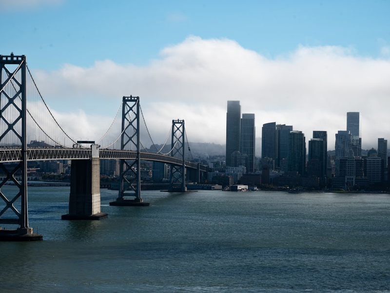
Photo by Davide Brocca on Unsplash
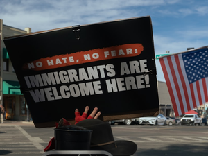
Over 100 local organizations are calling out the state of California for a major oversight that could impact funding for some of our most vulnerable neighborhoods. This week, these groups submitted letters to the California Environmental Protection Agency demanding changes to a new mapping tool that’s supposed to identify communities hit hardest by pollution and environmental racism.
The tool in question is CalEnviroScreen, developed by the California Office of Environmental Health Hazard Assessment. It’s a big deal because it determines which areas qualify as “Disadvantaged Communities”, or DACs, a designation that opens the door to critical funding for housing, public health, and sustainability projects. The state just released a draft update called CalEnviroScreen 5.0, which includes new health indicators like diabetes prevalence and exposure to toxic air sites. Sounds good in theory, right? But community organizers say the new map is actually making things worse for neighborhoods that desperately need support.
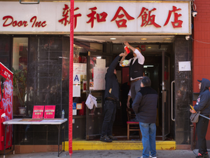
San Francisco Mayor Daniel Lurie put it bluntly: “Too many of our most vulnerable neighborhoods are still being left out, putting critical funding for housing, public health, and sustainability at risk”. According to the letters submitted, entire areas in San Francisco, including the Mission District, most of Chinatown, and South of Market, should qualify as DACs but currently don’t meet the criteria. Parts of the Tenderloin are also excluded.
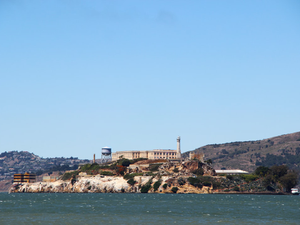
The problem extends beyond San Francisco. East Palo Alto, Marin City, parts of East and West Oakland, and several Contra Costa County neighborhoods are also being left out of the designation despite facing serious environmental and health challenges.
Here’s how the system works: CalEnviroScreen ranks each census tract based on indicators like drinking water contaminants and air quality. The top 25 percent of communities get the DAC label and access to resources. But according to the coalition groups, the new draft map’s methodology is failing to capture the real needs of these communities.
OEHHA did consult with eight community-based organizations while developing the draft, but the Bay Area groups argue the input clearly wasn’t enough. They’re not just complaining, they’re asking the state EPA to delay final approval and allow for more community feedback and revisions.
The public comment period already closed on Wednesday, but the pressure is on. These organizations are basically saying: if you’re going to use a map to decide where critical resources go, it needs to actually reflect reality. Right now, it doesn’t, and that means real communities are getting real short-changed.
AUTHOR: cgp
SOURCE: Local News Matters