Rising floodwaters, falling safety: Why Bay Area storms are hitting homeless communities hardest
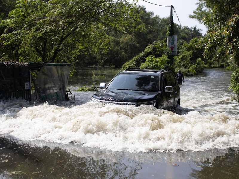
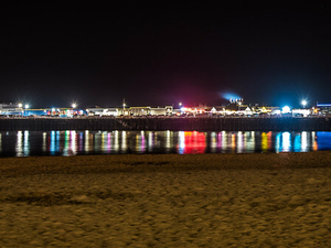
Photo by Samithu Siriwardana on Unsplash
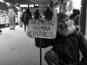
Climate change is making storms in the Bay Area wetter and more frequent, and a new UC study shows that the communities least equipped to handle it are paying the price. Researchers from UC Agriculture and Natural Resources found that over the past three decades, rainstorms across the region have intensified, creating serious flood risks for some of our most vulnerable neighbors, particularly homeless individuals living near rivers and creeks.
The study, published in the International Journal of Climatology, took a hard look at which Bay Area communities face the biggest danger. Researchers mapped social vulnerability across every U.S. Census tract in the region, considering factors like poverty rates, housing costs, minority populations, and access to transportation. Then they overlaid these vulnerability maps with data on where storms hit hardest.
What they found was sobering: the places where people struggle the most economically are often the exact same places getting pounded by the most intense rainfall. “Social vulnerability, such as sensitivity to hazards based on low income and resources, overlaps with higher storm frequency”, said Igor Lacan, one of the study’s authors.
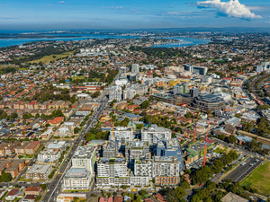
The problem isn’t evenly distributed across the Bay Area. Inland cities like Concord, Santa Rosa, and Vallejo experience some of the region’s highest storm frequency, while coastal areas like Oakland and Richmond see fewer storms but have larger populations of people experiencing homelessness. Urban streams in San Jose and Hayward pose risks, as do more remote waterways in Antioch and Vallejo.
Co-author Gregory Pasternack emphasized something crucial: while it’s great that people are working to get folks out of encampments and into permanent housing, that work is being outpaced by the number of people newly losing their homes. “The problem is trending worse”, Pasternack said. “Therefore, we need to take steps to provide support for people where they are, even as we work to move them into better solutions for the long term”.
This is where the study becomes more than just research, it’s a call to action for local governments. Pasternack hopes that by mapping these danger zones, city leaders can develop policies and infrastructure upgrades to protect residents from flooding where they currently live. That might mean better drainage systems in vulnerable areas, more accessible shelters during storms, or increased funding for immediate disaster relief in communities that need it most.
The reality is that experiencing homelessness already means dealing with extreme vulnerability to weather. Add intensifying storms to the mix, and you’ve got a public health crisis that demands immediate attention. This study makes it impossible to ignore.
AUTHOR: mls
SOURCE: Local News Matters